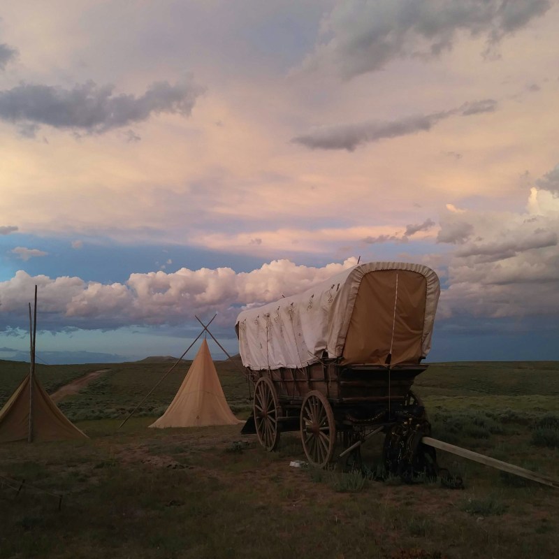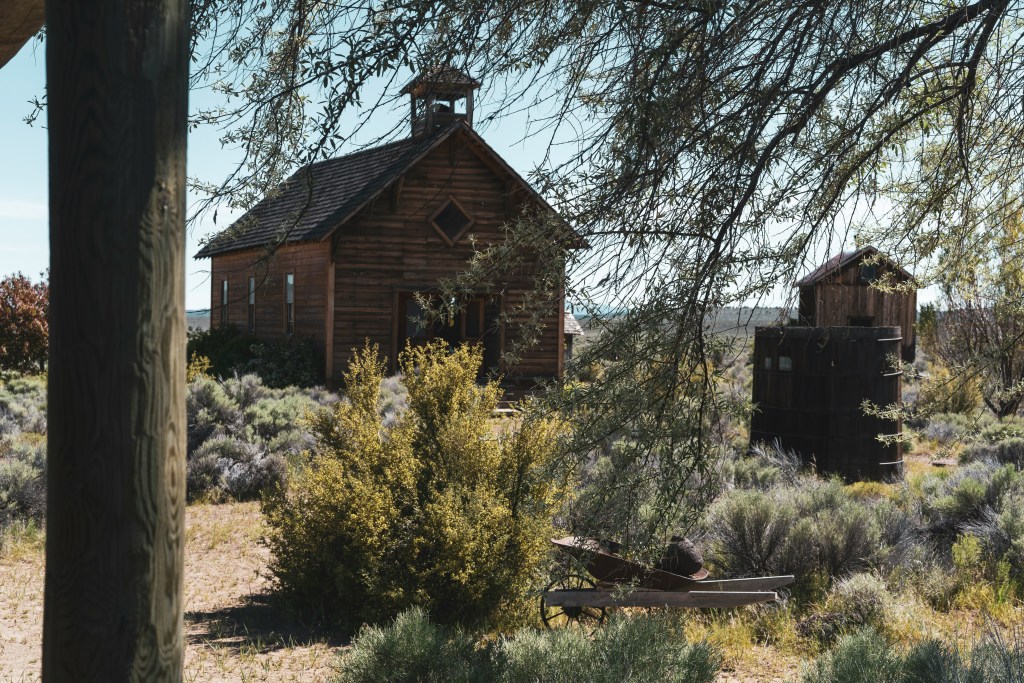
Spain has the Camino. China has the Silk Road.
Videos by TravelAwaits
The United States has the Oregon Trail.
Despite the fact that this perilous trail was only used by pioneers for a short period of time (between 40-60 years), it remains prominent in the American imagination. That’s largely thanks to haunting tales like that of the Donner Party and early PC games like Oregon Trail.
In 1993, the US National Parks Service decided to celebrate the 150th anniversary of the Oregon Trail by posting road signs across the country. These now mark the roads and parks where the trail’s original migrants would have passed through.
In fact, you can follow these all the way from Independence Missouri to the coasts of Oregon.
That’s right—people are still traveling the Oregon Trail. And the National Park Service is working overtime to make that easier than ever before. Here’s how you can get involved.
Pioneer vibes for the modern traveler
The National Park Service has done a stellar job of mapping out the historical Oregon Trail. This 2,000-mile trail snakes through Missouri, Kansas, Nebraska, Wyoming, Idaho, Utah, Oregon, and Washington.
Along the way, you can see some of the US’s most beautiful and remote landscapes. (Don’t believe the hype—the Great Plains of Kansas and Nebraska are absolutely stunning.)
Want to map out your route along the Oregon Trail? You can do so using these helpful maps from the National Park Service.
- The Interactive Map lets you zero in on the parks and landmarks that you’ll want to see when road-tripping on the old Oregon Trail.
- The Things To Do page connects you to sites, landmarks, and other areas that were referenced by actual Oregon Trail survivors. You can even check out wagon ruts sunken into the dirt.
- The Auto Tour Route Interpretive Guide gives you even more information on how to see the most relevant sites while driving. It’s designed as a booklet that travelers can print out. (Nerd alert: these PDFs are surprisingly well done—I just wasted an hour reading through them for fun.)
- The GIS Interactive Map highlights the resources that pioneer travelers would have been concerned with during their journey back in the 1800s. This is a great angle for those who like really like history.

Which Oregon trail sites are worth seeing?
There are dozens of ways to get from Missouri to Oregon. I’ll let you decide how faithful you want to be to the NPS’s guide.
Using the Interactive Map linked above, you can check out the trail sites listed below.
The easiest way to explore what’s on offer is to read through the interactive map on a state-by-state basis.
I skimmed Missouri’s list. It includes locations like the official courthouse in Independence where travelers set off from, small caves tucked away in forests where travelers rested at midday, and the Bingham-Waggoner Estate where you can see ruts from the covered wagons.
I recommend looking into what interests you the most, whether that’s modern museums that cover the Oregon Trail, National Parks where it once passed through, or historical sites. There’s truly something for everyone.
Here are the locations I would keep on my radar:
- Missouri
- Barnes Enclosure and Cave Spring Interpretive Center
- Independence Courthouse Square
- Kansas
- Alcove Spring Campsite
- Oregon Trail Park at Scott Springs
- Oregon Trail Park Grave Site
- Nebraska
- The Archway-Pioneer Sod House
- Homestead National Historical Park
- Rock Creek Station State Historical Park
- Wyoming
- Independence Rock State Historic Site
- Split Rock Interpretive Site
- Idaho
- Bonneville Point
- Oregon Trail Park & Marina
- Three Island Crossing State Park
- Oregon
- Pioneer Woman’s Grave & Trail
- National Historic Oregon Trail Interpretive Center
- Birch Creek Trail Site
- Washington
- Fort Vancouver National Historical Site
