
Here’s the low-down…
- Compared to 1971, turbulence in 2025 is 41% stronger
- The National Weather Service divides turbulence into four categories: CAT, or clear-air turbulence, is the most high-impact
- Turbulence in the United States is most severe during summer and winter
Videos by TravelAwaits
Caribbean cruise lines are known to schedule their routes around the hurricane season—could airlines be doing the same when it comes to turbulence?
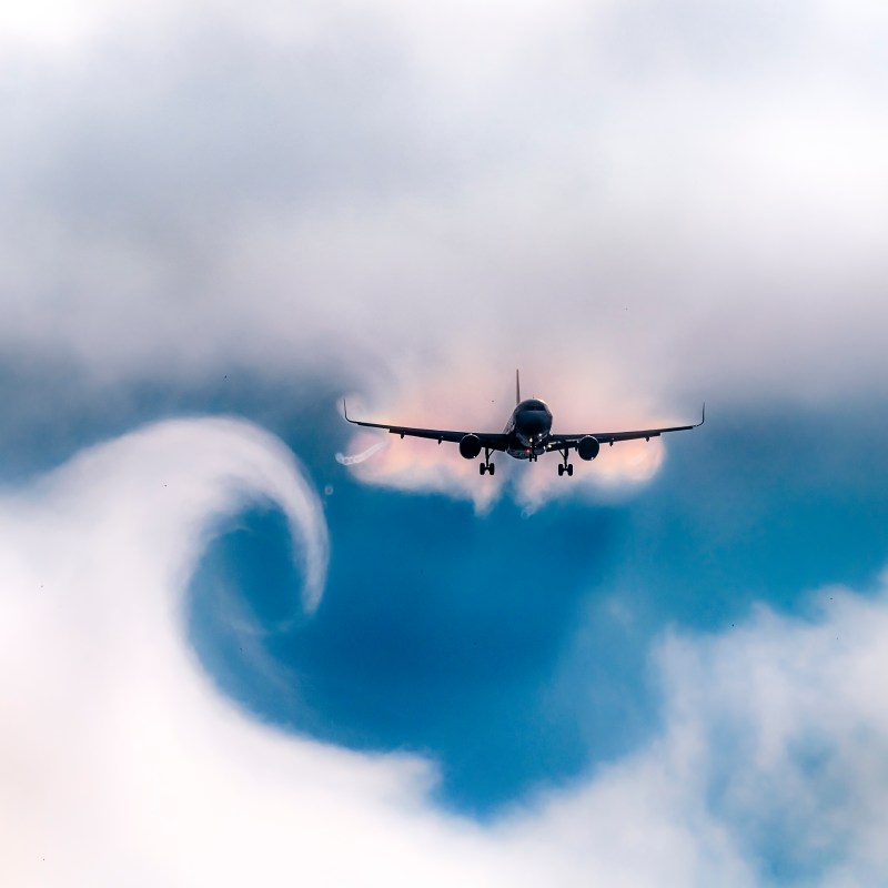
There’s no straightforward answer because turbulence has four main causes, according to the National Weather Service. One is mechanical turbulence, caused by large man-made structures and irregular terrain, including large mountains.
But the other three types of turbulence, called wind shear, frontal turbulence, and thermal turbulence, are all partly caused and affected by warm weather, jet stream patterns, and colliding warm and cold fronts.
Though all natural phenomena are at least a bit chaotic, these types of turbulence impact can be partly predicted and studied. In fact, it turns out that some elements of turbulence are seasonal.
So, when is turbulence the worst? And how can nervous flyers avoid booking tickets during peak ‘turbulence season’? Here’s what you need to know about flight routes across the US.
(If you’re still a little curious about what turbulence is and how pilots manage it, check out this awesome tell-all from an experienced pilot.)
When is turbulence the worst? And during what season?
As outlined above, three of the four common types of turbulence are directly affected by weather patterns and temperature. Summer and winter are often cited as the most turbulent of all seasons because of their extreme temperatures.
Winter in the US is often the most turbulent because it’s when jet streams are the strongest. You’re more likely to encounter high-altitude CAT or clear-air turbulence (covered below), which can suddenly and unexpectedly cause turbulence—even if there’s not a cloud in the sky.
In the US, summer is also a turbulent season thanks to the presence of storms throughout the country. In late summer, the Atlantic’s hurricane season also starts up, creating ample challenges for airlines and pilots.
So, the worst time for turbulence in the United States is summer and winter. The closer you are to the apex of each season (meaning the highest temps and the lowest), the more likely you are to experience turbulence. In summer, the hottest part of the day (afternoon) is usually when turbulence can be expected.
That being said, turbulence can be experienced in any season and at any time of day. As we’ll explore below, when discussing CAT, turbulence is becoming a bit tougher to predict.
Climate change is making CAT worse
According to one professor from the University of Reading (UK) who was interviewed by USA Today, there is strong evidence showing that turbulence in 2025 is around 41% more intense than turbulence from 1979.
Unfortunately, the most problematic type of turbulence is being affected by rising temperatures and increased CO2 levels. That’s clear air turbulence or CAT.
Clear air turbulence is a burgeoning issue for pilots and meteorologists because, like the name suggests, it’s invisible. There are no clouds or other visual indicators that turbulence is coming; conventional weather radars also can’t pick it up. Worse, it tends to affect planes flying at high altitudes between 20,000 and 49,000 feet.
Clear air turbulence is a type of wind shear, which is caused by jet streams that interact. Horizontal and vertical wind streams meet, creating erratic changes in wind speed and direction.
That being said, pilots are trained to deal with CAT—and planes are largely prepared to weather this type of unexpected movement. They can follow jet streams to dodge CAT, pushing through low-pressure regions rather than trying to circumnavigate them, and can even issue Pilot Reports to warn other pilots in the area.