
I have a secret navigational skill that nobody will care about until a survival situation rolls around.
Videos by TravelAwaits
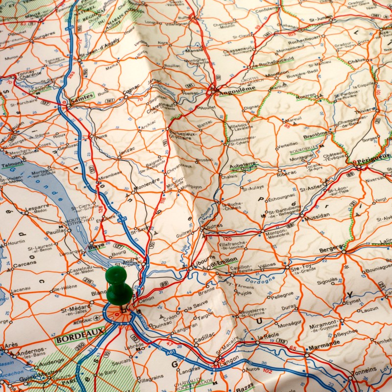
I can read a road map. A physical road map. An analog road map, if you will.
While this skill might seem a little unimpressive to older Americans, it’s a flex here in Western Europe.
I grew up in Saint Louis, Missouri, where people still give directions using the cardinal directions—which I never thought twice about until moving to Barcelona and telling someone to head north.
I was met with stunned silence. Soon after, they wanted to know if I actually knew where north was… and I felt a similar suspicion.
Did this person actually not know which way was north? How does someone lose track of the cardinal directions? And what other inherent knowledge are they missing?
As it turns out, you’re more likely to know the cardinal directions if you grew up driving longer distances and living in a more sparsely populated area. (Also, you’re more likely to know the cardinal directions if they’re part of your language, culture, and cosmology—but that’s another very intriguing story.)
This short exchange about knowing which way is north led to another novel idea about directions and navigation.
I blurted out, “So do you not know how to read a road map?”
They, in fact, did not.
If you don’t know how to navigate, consider this your short-and-sweet introduction on how to read road maps and mile markers. Even if you don’t have any plans on abandoning your Google Maps app, you might want to know a thing or two in case of emergency.
Road maps & mile markers in the United States
Maps probably sound like they’d be uniform, but every country has a different way of mapping roads and marking them. In the United States, our road maps designed to help us find interstate highways, state boundaries, and principal roads.
You can find national maps, state maps, and regional maps—and you might need all three for more dynamic road trips that take you onto side streets and byways.
That being said, they all come with one uniform feature: a key.
Every road map in the United States comes with a key—that will tell you about key features, landmarks, cities, and roads listed on the map. The key will also list all interstate highways and state abbreviations, along with a back-of-map gridded guide to finding cities. If you want to find Reno, Nevada, for example, you’ll be given a letter and a number, which correlate to a grid on the map.
Additionally, the key includes a scale so that you can measure the distance between locations and estimate how long it will take you to get there.
If you’re using a road map, you’re also probably using mile markers to gauge your progress. Mile markers are listed on either side of a road, telling you how far from the state border you are. They increase as you head north and east, decreasing as you head south or west.
How to read road maps in the US
Reading road maps sounds and looks more complicated than it is. Here’s how you can read a US road map.
- Orient yourself. Use the compass rose on the map to start in the right direction.
- Get familiar with the key. Make sure you understand the symbols on the map; your main priority is to find the interstates. You also need to know the map’s scale.
- Plot your route from where you are to your destination. If you know where you’re going, just mark the spot. If not, use the map’s town index to find your destination using the grid. As mentioned above, the grid includes letter and number lines, which you can cross-reference to find any town or city.
- Find the fastest way to get there. Interstate highways are your best friend; they’re almost always listed in bright red color and start with I-XX, such as I-75. Even numbers indicate the highway runs east-west, and odd numbers indicate north-south.
- Map out your journey. The further into the boonies you’re heading, the more militant you need to be about planning out stops. Remember: in the Great Plains and Rocky Mountain regions, fuel stations can be few and far between.
How to read mile markers for road trips
The best way to stay on track while using a physical road map for navigation is mile markers. Mile markers were created to help drivers know how far they’ve made it and how long they’ve got to go.
As mentioned above, mile markers are listed separately in each state. When you cross over the border into a new one, you’ll start see a new set of mile markers start.
Almost all mile markers are written on green signs with white lettering. In most states, mile markers also correlate to exit numbers for even easier navigation. For example, Exit 317 sits at mile marker 317.
Like interstate highway numbers, they run differently depending on your direction:
- Mile markers increase as you travel north and decrease as you travel south. If you’re on a north-south interstate, you’ll know you’re heading north when the mile markers increase.
- Mile markers increase as you travel east and decrease as you travel west. If you’re driving on an east-west interstate, you can tell you’re heading west if the numbers decrease.